Safety Score: 2,7 of 5.0 based on data from 9 authorites. Meaning we advice caution when travelling to United States.
Travel warnings are updated daily. Source: Travel Warning United States. Last Update: 2024-08-13 08:21:03
Touring Riverton-Boulevard Park
Riverton-Boulevard Park in King County (Washington) is a town located in United States about 2,321 mi (or 3,736 km) west of Washington DC, the country's capital place.
Time in Riverton-Boulevard Park is now 08:56 AM (Tuesday). The local timezone is named America / Los Angeles with an UTC offset of -8 hours. We know of 9 airports nearby Riverton-Boulevard Park, of which 3 are larger airports. The closest airport in United States is Boeing Field King County International Airport in a distance of 2 mi (or 3 km), North. Besides the airports, there are other travel options available (check left side).
There is one Unesco world heritage site nearby. It's Olympic National Park in a distance of 20 mi (or 33 km), North-West. Also, if you like the game of golf, there are several options within driving distance. We collected 10 points of interest near this location. Need some hints on where to stay? We compiled a list of available hotels close to the map centre further down the page.
Being here already, you might want to pay a visit to some of the following locations: Seattle, Tacoma, Port Orchard, Everett and Olympia. To further explore this place, just scroll down and browse the available info.
Local weather forecast
Todays Local Weather Conditions & Forecast: 5°C / 40 °F
| Morning Temperature | 1°C / 33 °F |
| Evening Temperature | 4°C / 40 °F |
| Night Temperature | 2°C / 36 °F |
| Chance of rainfall | 0% |
| Air Humidity | 58% |
| Air Pressure | 1027 hPa |
| Wind Speed | Light breeze with 3 km/h (2 mph) from South |
| Cloud Conditions | Broken clouds, covering 60% of sky |
| General Conditions | Broken clouds |
Tuesday, 3rd of December 2024
6°C (43 °F)
3°C (38 °F)
Sky is clear, calm, clear sky.
Wednesday, 4th of December 2024
8°C (46 °F)
6°C (44 °F)
Overcast clouds, calm.
Thursday, 5th of December 2024
9°C (49 °F)
9°C (48 °F)
Light rain, light breeze, overcast clouds.
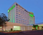
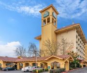
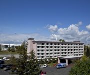
Hotels and Places to Stay
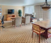
Hilton Seattle Airport - Conference Center
DoubleTree Suites by Hilton Seattle Airport - Southcenter
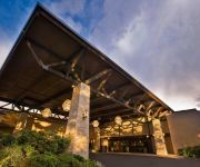
DoubleTree by Hilton Seattle Airport
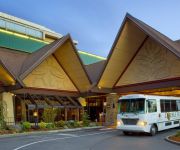
Seattle Airport Marriott
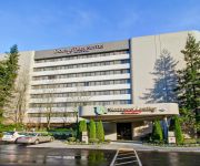
Crowne Plaza SEATTLE AIRPORT
Hampton Inn - Suites Seattle-Airport-28th Ave WA
LA QUINTA INN SEATTLE SEA-TAC AIRPORT
COAST GATEWAY HOTEL
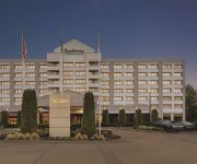
Radisson Hotel Seattle Airport
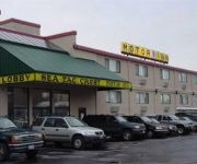
SEATAC CREST MOTOR INN
Videos from this area
These are videos related to the place based on their proximity to this place.
The Duwamish RIver Turning Basin - People for Puget Sound
I love the Duwamish. I've always had a soft spot for industrial waterways, likely because I grew up on Bainbridge Island, playing across the bay from a future Super-Fund clean-up site. The...
2014 AJAC Machining Apprenticeship Graduation
The Aerospace Joint Apprenticeship Committee (AJAC) hosted a graduation ceremony on Friday, June 27, 2014, at The Museum of Flight in Seattle, Washington to celebrate AJAC's 21 graduating...
Pink salmon kayak fishing on the lower Green River, WA.
Kayaking on the lower Green River/Duwamish Waterway fishing for Pinks. Mounted a GoPro Hero2 HD in the rear Scotty mount pole holder. 9/04/2013 Washington State. Feel free to comment and rate!
Detailed Views of the First Boeing 747 Built
Boeing 747-121 N7470 / RA001 (cn 20235/1) "City of Everett" Seen at The Museum of Flight, Seattle - Boeing Field / King County International (BFI / KBFI), recorded on February 25, 2014 Here's...
South Park's main street becomes a dead end
The South Park bridge in Seattle is closed after the aging structure is deemed unsafe for use. The closure of the drawbridge, built in 1930 and spanning the Duwamish River, effectively turned...
Live Rollercoaster Ride on Timberhawk
This is from the front row of the Timberhawk at Wildwaves/Enchanted Village in Federal Way, WA.
PugetSoundTrainingCenter.mpg
The Mission of Puget Sound Training Center is to provide training and employment services to individuals with limited skills, education, and English comprehension; and who are unemployed or...
British Export Beatles tribute at Glen Acres
British Export perform at a ladies fund raiser event at Glen Acres Golf & Country Club. Video 2 of 3.
Red Barn Heritage Awards 2014
The Red Barn Heritage Award is presented periodically in recognition of extraordinary leadership within the community, inspirational contribution of time and talent, and exceptional commitment...
Classic Helicopter Aerials
Classic Helicopter Corp and Executive Productions of Seattle have teamed up to provide professional & affordable high definition aerials using gyro enabled technology. No complicated overnight...
Videos provided by Youtube are under the copyright of their owners.
Attractions and noteworthy things
Distances are based on the centre of the city/town and sightseeing location. This list contains brief abstracts about monuments, holiday activities, national parcs, museums, organisations and more from the area as well as interesting facts about the region itself. Where available, you'll find the corresponding homepage. Otherwise the related wikipedia article.
Riverton-Boulevard Park, Washington
Riverton-Boulevard Park is a former census-designated place (CDP) in King County, Washington, United States. The population was 11,188 at the 2000 census. For the 2010 census, the CDP was separated into Riverton CDP and Boulevard Park CDP, with part of the area now being in the city of Tukwila.
Highline Botanical Garden
Highline Botanical Garden is a 10.5-acre community botanical garden located at 13735 24th Avenue South, SeaTac, Washington. It is open daily without charge. The garden started as the private plantings by Elda and Ray Behm on a 1-acre site. Their property was slated for demolition in the mid-1990s for the Seattle-Tacoma International Airport's proposed third runway.
South Park Bridge
The South Park Bridge (also called the 14th/16th Avenue South Bridge) is a Scherzer Rolling Lift double-leaf bascule bridge in Seattle, Washington, United States. It was constructed in 1929-31 and closed to traffic on June 30, 2010, due to safety concerns. The South Park Bridge carried automobile traffic over the Duwamish River near Boeing Field, just outside the city limits of Seattle. It was named for the nearby South Park neighborhood of Seattle.
Andrews Space
Andrews Space is a small aerospace company based in Seattle, Washington, founded in 1999 to develop space systems. Andrews provides aerospace services for commercial, civil, and military clients.
Marra Farm
Marra Farm, a 4-acre plot of land in Marra-Desimone Park, South Park, Seattle, Washington is one of only two historic agricultural parcels inside Seattle city limits that retains an agricultural use today; the other is Picardo Farm. It was operated from the early 1900s until the 1970s as a truck farm by the Italian American Marra family, and then sold to King County. Little was done with the land until 1997, when several neighborhood residents and one VISTA volunteer began restoration efforts.
Riverton, Washington
Riverton is a census-designated place (CDP) in King County, Washington, United States. The population was 6,407 at the 2010 census. Riverton was formerly part of the Riverton-Boulevard Park CDP, which was split up for the 2010 census into Riverton and Boulevard Park. Riverton also refers to a neighboring former community in part of what is now Tukwila in the Duwamish River Valley.
Green River Trail
The Green River Trail is a 19.6-mile pedestrian and bicycle trail in King County, Washington, USA. It runs along the banks of the Duwamish and Green Rivers, crossing the river several times on bridges. The trail goes through a variety of landscapes, ranging from industrial to rural. The north end of the trail is near the turning basin of the Duwamish Waterway, near the south Seattle city limits. Heading upriver, the trail goes by Cecil Moses Park.
Boulevard Park, Washington
Boulevard Park is a census-designated place (CDP) in King County, Washington, United States. The population was 5,287 at the 2010 census. Boulevard Park was formerly part of the Riverton-Boulevard Park CDP, which was split up for the 2010 census into Riverton and Boulevard Park.


