Safety Score: 2,7 of 5.0 based on data from 9 authorites. Meaning we advice caution when travelling to United States.
Travel warnings are updated daily. Source: Travel Warning United States. Last Update: 2024-08-13 08:21:03
Explore Sherburne Center
Sherburne Center in Rutland County (Vermont) is located in United States about 397 mi (or 638 km) north-east of Washington DC, the country's capital.
Local time in Sherburne Center is now 06:42 PM (Thursday). The local timezone is named America / New York with an UTC offset of -5 hours. We know of 13 airports in the wider vicinity of Sherburne Center, of which 5 are larger airports. The closest airport in United States is Rutland - Southern Vermont Regional Airport in a distance of 13 mi (or 20 km), South-West. Besides the airports, there are other travel options available (check left side).
There is one Unesco world heritage site nearby. The closest heritage site is Rideau Canal in Canada at a distance of 117 mi (or 189 km). Also, if you like golfing, there are multiple options in driving distance. If you need a place to sleep, we compiled a list of available hotels close to the map centre further down the page.
Depending on your travel schedule, you might want to pay a visit to some of the following locations: Rutland, Woodstock, Chelsea, Middlebury (village) and Montpelier. To further explore this place, just scroll down and browse the available info.
Local weather forecast
Todays Local Weather Conditions & Forecast: 6°C / 43 °F
| Morning Temperature | 6°C / 43 °F |
| Evening Temperature | 4°C / 40 °F |
| Night Temperature | 4°C / 39 °F |
| Chance of rainfall | 17% |
| Air Humidity | 92% |
| Air Pressure | 1002 hPa |
| Wind Speed | Gentle Breeze with 7 km/h (4 mph) from West |
| Cloud Conditions | Overcast clouds, covering 100% of sky |
| General Conditions | Moderate rain |
Thursday, 21st of November 2024
4°C (40 °F)
2°C (36 °F)
Rain and snow, moderate breeze, overcast clouds.
Friday, 22nd of November 2024
3°C (37 °F)
3°C (38 °F)
Rain and snow, gentle breeze, overcast clouds.
Saturday, 23rd of November 2024
2°C (36 °F)
-1°C (31 °F)
Rain and snow, moderate breeze, overcast clouds.
Hotels and Places to Stay
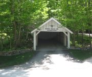
Birch Ridge Inn
MOUNTAIN GREEN SKI AND GOLF
TRAILSIDE INN
Summit Lodge
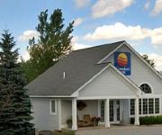
Killington Center Inn and Suites
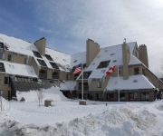
Pinnacle Condominiums
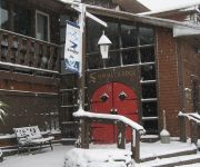
Snowed Inn
Fall Line Condominiums
Highridge Condominiums
Chalet Killington
Videos from this area
These are videos related to the place based on their proximity to this place.
Killington Park & Powder 2014 - The Bishop Is Calling
Had some decent powder early in December at Killington which allowed us to have some fun in the woods with some rails shots from early season. Devin Beayon - Orange Coat Josh Budaj - Red...
Jeep Jamboree Killington TimberJack 2014
Great time as always in Vermont at the famous Killington Mountain Jeep Jamboree. This is the hardest Jamboree to get into sells out as soon as the signups begin. Timber-Jack is the hardest...
Vermont Killington 2015
Trip to Vermont during MLK weekend 2015 Shot with Samsung Galaxy S5 and GoPro Hero 4 Silver twitter.com/ynakamura instagram.com/ynak8429 snapchat: ynak8429.
Opening Week at Killington Resort (November 8, 2014)
Opening week at Killington Resort. Shot on November 8, 2014. GoPro Hero4.
Killington Powder Skiing 2015
While the east is getting hammered with snow I have been trying to find some new fun lines in the woods. Hope you enjoy!
Videos provided by Youtube are under the copyright of their owners.
Attractions and noteworthy things
Distances are based on the centre of the city/town and sightseeing location. This list contains brief abstracts about monuments, holiday activities, national parcs, museums, organisations and more from the area as well as interesting facts about the region itself. Where available, you'll find the corresponding homepage. Otherwise the related wikipedia article.
Ottauquechee River
The Ottauquechee River (pronounced AWT-ah-KWEE-chee) is a 41.4-mile-long river in eastern Vermont in the United States. It is a tributary of the Connecticut River, which flows to Long Island Sound.


