Safety Score: 2,7 of 5.0 based on data from 9 authorites. Meaning we advice caution when travelling to United States.
Travel warnings are updated daily. Source: Travel Warning United States. Last Update: 2024-08-13 08:21:03
Delve into Blake
Blake in Montgomery County (Kansas) is a town located in United States about 1,024 mi (or 1,648 km) west of Washington DC, the country's capital town.
Time in Blake is now 10:09 AM (Thursday). The local timezone is named America / Chicago with an UTC offset of -6 hours. We know of 10 airports closer to Blake, of which 5 are larger airports. The closest airport in United States is Tulsa International Airport in a distance of 67 mi (or 108 km), South. Besides the airports, there are other travel options available (check left side).
Also, if you like the game of golf, there are some options within driving distance. In need of a room? We compiled a list of available hotels close to the map centre further down the page.
Since you are here already, you might want to pay a visit to some of the following locations: Independence, Fredonia, Sedan, Bartlesville and Nowata. To further explore this place, just scroll down and browse the available info.
Local weather forecast
Todays Local Weather Conditions & Forecast: 9°C / 48 °F
| Morning Temperature | 4°C / 39 °F |
| Evening Temperature | 5°C / 42 °F |
| Night Temperature | 3°C / 37 °F |
| Chance of rainfall | 0% |
| Air Humidity | 44% |
| Air Pressure | 1024 hPa |
| Wind Speed | Moderate breeze with 12 km/h (7 mph) from South |
| Cloud Conditions | Clear sky, covering 0% of sky |
| General Conditions | Sky is clear |
Thursday, 21st of November 2024
9°C (48 °F)
5°C (42 °F)
Sky is clear, gentle breeze, clear sky.
Friday, 22nd of November 2024
12°C (54 °F)
11°C (52 °F)
Broken clouds, moderate breeze.
Saturday, 23rd of November 2024
18°C (64 °F)
12°C (53 °F)
Few clouds, moderate breeze.
Hotels and Places to Stay
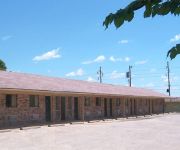
TOWNSMEN MOTEL INDEPENDENCE
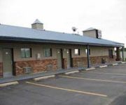
KNIGHTS INN INDEPENDENCE
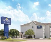
MICROTEL INN & SUITES BY WYNDH
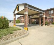
SUPER 8 INDEPENDENCE
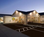
APPLE TREE INN AND SUITES
Videos from this area
These are videos related to the place based on their proximity to this place.
Sinclair Oil World's Fair Life Sized Corythosaurus (Independence, KS)
In this basic pilot of the webshow "Location, Location" host Christopher Williams tells you some neat facts about the Corythosaurus dinosaur, while visiting the Sinclair Oil World's Fair Life...
Independence (KS) Engine 1 Responding to a call
I shot this video as Engine 1 was leaving just as we got to the station to see the trucks.
Right across from Memorial Hall
For more details click here: http://www.visualtour.com/showvt.asp?t=3074852 418 N 6th Independence, KS 67301 $54000, 2 bed, 1.0 bath, 1244 SF, MLS# 22018 This bungalow is in the perfect...
Video from the Kansas Mission of Mercy Dental Clinic
Video recorded during the setup of KMOM Independence.
Videos provided by Youtube are under the copyright of their owners.
Attractions and noteworthy things
Distances are based on the centre of the city/town and sightseeing location. This list contains brief abstracts about monuments, holiday activities, national parcs, museums, organisations and more from the area as well as interesting facts about the region itself. Where available, you'll find the corresponding homepage. Otherwise the related wikipedia article.
Independence Community College
Independence Community College is a community college in Independence, Kansas, United States. It is located between Tulsa, Kansas City, Wichita, Kansas and Joplin, Missouri and was formerly known as Independence Community Junior College.
Independence Army Airfield
Independence Army Airfield was a World War II training base of the United States Army Air Forces Central Flying Training Command (CFTC). It is currently the city-owned Independence Municipal Airport.


