Safety Score: 3,3 of 5.0 based on data from 9 authorites. Meaning please reconsider your need to travel to Netherlands.
Travel warnings are updated daily. Source: Travel Warning Netherlands. Last Update: 2024-08-13 08:21:03
Delve into Vebenabos
Vebenabos in Gemeente Veere (Provincie Zeeland) is located in Netherlands about 85 mi (or 137 km) south-west of Amsterdam, the country's capital town.
Current time in Vebenabos is now 05:16 PM (Monday). The local timezone is named Europe / Amsterdam with an UTC offset of one hour. We know of 12 airports close to Vebenabos, of which 5 are larger airports. The closest is airport we know is Ostend-Bruges International Airport in Belgium in a distance of 34 mi (or 55 km). The closest airport in Netherlands is Rotterdam Airport in a distance of 52 mi (or 55 km), South-West. Besides the airports, there are other travel options available (check left side).
There are several Unesco world heritage sites nearby. The closest heritage site is Historic Centre of Brugge in Belgium at a distance of 22 mi (or 36 km). The closest in Netherlands is Van Nellefabriek in a distance of 49 mi (or 36 km), South-West. Also, if you like playing golf, there are some options within driving distance. If you need a hotel, we compiled a list of available hotels close to the map centre further down the page.
While being here, you might want to pay a visit to some of the following locations: Middelburg, Eeklo, Tielt, Oudenaarde and Ostend. To further explore this place, just scroll down and browse the available info.
Local weather forecast
Todays Local Weather Conditions & Forecast: 10°C / 49 °F
| Morning Temperature | 15°C / 60 °F |
| Evening Temperature | 11°C / 51 °F |
| Night Temperature | 9°C / 49 °F |
| Chance of rainfall | 8% |
| Air Humidity | 87% |
| Air Pressure | 1003 hPa |
| Wind Speed | Strong breeze with 22 km/h (13 mph) from North |
| Cloud Conditions | Overcast clouds, covering 100% of sky |
| General Conditions | Moderate rain |
Tuesday, 26th of November 2024
9°C (48 °F)
9°C (48 °F)
Moderate rain, fresh breeze, overcast clouds.
Wednesday, 27th of November 2024
8°C (46 °F)
9°C (47 °F)
Moderate rain, strong breeze, overcast clouds.
Thursday, 28th of November 2024
9°C (49 °F)
7°C (45 °F)
Light rain, fresh breeze, overcast clouds.
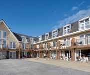
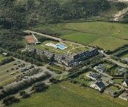
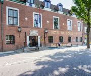
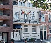
Hotels and Places to Stay
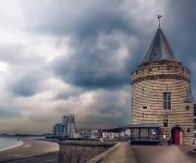
De Gevangentoren Suite
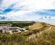
Golden Tulip Strandhotel Westduin
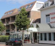
Piccard
Amadore Hotel Restaurant Arion
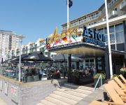
Beach Hotel
Fletcher Zuiderduin Beachhotel
Boutiquehotel The Roosevelt
De Ruyter
Villahotel Vlissingen
Hotel De Belgische Loodsensociëteit
Videos from this area
These are videos related to the place based on their proximity to this place.
4-20 saunter on the boulevard, in Flushing on/sea..Vlissingen.
Vlissingen. Pasen- Market-by-the-sea. Too windy, very crowded...got a new ceramic, frying pan....walked a few booths further...same pan...€5 cheaper. funsund...
Dishoek, vakantie aan het Zeeuwse strand Zonzie.nl
Dishoek is een klein dorp onderaan de duinen. Hier is het altijd genieten van zon, zee en strand. Kijk voor meer Zeeland films op www.zonzie.nl.
Tjiftjaf Klein-Valkenisse 20120327
Zingende Tjiftjaf (Phylloscopus collybita) in het duingebied van Klein-Valkenisse op 27 maart 2012.
grote sprinkhaan Klein-Valkenisse 20120619
Deze grote sprinkhaan was aanwezig in de bijenkuil van het duingebied te Klein-Valkenisse op 19 juni 2012.
Middelburgse-kermis Klein-Valkenisse 20120805
De Middelburgse-kermis gezien vanaf het duingebied te Klein-Valkenisse op 5 augustus 2012.
te jong gestorven konijntjes Klein-Valkenisse 20120703
Op 3 juli 2012 lagen er twee te jong gestorven konijntjes in vallei 2 van het duingebied te Klein-Valkenisse.
bunkers Koudekerke Stp. Von Kleist
Video van 4 bunkers die in Koudekerke staan aan de Verbrande Hofweg (dichtbij Dishoek en de duinen). De bunkers staan op een weiland. De Duitsers noemde deze batterij Stp. Von Kleist. Meer...
bunkers Koudekerke Zeeland Landfront Vlissingen
Bunkers type 631 bij Koudekerke die deel uit maakten van Landfront Vlissingen in WOII. In de bunkers was een anti-tankwapen opgesteld. Meer info: http://www.infovlissingen.nl/atlantikwall-walcheren.
Videos provided by Youtube are under the copyright of their owners.
Attractions and noteworthy things
Distances are based on the centre of the city/town and sightseeing location. This list contains brief abstracts about monuments, holiday activities, national parcs, museums, organisations and more from the area as well as interesting facts about the region itself. Where available, you'll find the corresponding homepage. Otherwise the related wikipedia article.
Scheldt
The Scheldt (French Escaut) is a 350 km long river in northern France, western Belgium and the southwestern part of the Netherlands. Its name is derived from an adjective corresponding to Old English sceald "shallow", Modern English shoal, Low German schol, Frisian skol, and Swedish skäll "thin".
Hoogelande
Hoogelande is a small hamlet in the Dutch province of Zeeland. It is located in the municipality of Veere, about 4 km northwest of Middelburg. Hoogelande was a separate municipality until 1816, when it was annexed by Grijpskerke.
Valkenisse, Walcheren
Valkenisse is a former municipality in the Dutch province of Zeeland, on the former island of Walcheren. Valkenisse was created in 1966 in a merger of Biggekerke, Koudekerke and Zoutelande, and existed until 1997, when it was merged into Veere. The municipality was named after the two hamlets Groot-Valkenisse and Klein-Valkenisse.
Huis der Boede
Huis der Boede is a country house near Koudekerke in the Dutch province of Zeeland, erected in 1745 for J. van Mandere, burgmaster of Vlissingen. For its design he commissioned the Antwerp architect and sculptor Jan Pieter van Baurscheit the Younger.


