Safety Score: 3,0 of 5.0 based on data from 9 authorites. Meaning we advice caution when travelling to Germany.
Travel warnings are updated daily. Source: Travel Warning Germany. Last Update: 2024-08-13 08:21:03
Explore Genheim
Genheim in Rhineland-Palatinate is located in Germany about 301 mi (or 484 km) south-west of Berlin, the country's capital.
Local time in Genheim is now 10:18 PM (Tuesday). The local timezone is named Europe / Berlin with an UTC offset of one hour. We know of 10 airports in the wider vicinity of Genheim, of which 3 are larger airports. The closest airport in Germany is Mainz-Finthen Airport in a distance of 15 mi (or 24 km), East. Besides the airports, there are other travel options available (check left side).
There are several Unesco world heritage sites nearby. The closest heritage site in Germany is Upper Middle Rhine Valley in a distance of 17 mi (or 28 km), North. We found 1 points of interest in the vicinity of this place. If you need a place to sleep, we compiled a list of available hotels close to the map centre further down the page.
Depending on your travel schedule, you might want to pay a visit to some of the following locations: Waldlaubersheim, Roth, Waldalgesheim, Schweppenhausen and Warmsroth. To further explore this place, just scroll down and browse the available info.
Local weather forecast
Todays Local Weather Conditions & Forecast: 8°C / 47 °F
| Morning Temperature | 3°C / 37 °F |
| Evening Temperature | 7°C / 45 °F |
| Night Temperature | 6°C / 43 °F |
| Chance of rainfall | 0% |
| Air Humidity | 64% |
| Air Pressure | 1025 hPa |
| Wind Speed | Calm with 2 km/h (1 mph) from West |
| Cloud Conditions | Broken clouds, covering 67% of sky |
| General Conditions | Broken clouds |
Wednesday, 6th of November 2024
13°C (55 °F)
7°C (45 °F)
Few clouds, calm.
Thursday, 7th of November 2024
11°C (52 °F)
7°C (44 °F)
Sky is clear, light breeze, clear sky.
Friday, 8th of November 2024
11°C (51 °F)
7°C (44 °F)
Sky is clear, light breeze, clear sky.
Hotels and Places to Stay
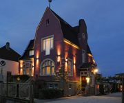
Jugendstil-Hof
Burg Reichenstein
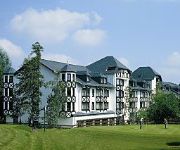
Land & Golf Hotel
NH Bingen
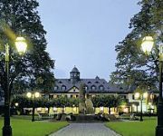
Jagdschloss Niederwald
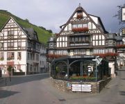
Berg's Alte Bauernschänke Wellness AKZENT Hotel
Heinrichs B&B
Rheinhotel Starkenburger Hof
Münsterer Hof Garni
Grüner Baum
Videos from this area
These are videos related to the place based on their proximity to this place.
Ruheforst Waldalgesheim - Führung
Eine Führung im Ruheforst Rheinhessen-Nahe in Waldalgesheim bei Bingen, vorgetragen vom Revierförster, Herrn Bernhard Naujack, aufgenommen am 05.Mai 2013. Nähere Informationen und ...
Ruheforst Waldalgesheim - Impressionen
Impressionen aus dem Ruheforst Rheinhessen-Nahe in Waldalgesheim bei Bingen, aufgenommen am 05.Mai 2013.
Binger Wald - Haengebruecke
Eine just-for-fun Hängebrücke steht im Binger Wald oberhalb Forsthaus Heiligkreuz und führt über die mickrigen Anfänge des Kreuzbaches. Das Video zeigt nach Anblicken der Brücke einen...
Flowtrail Stromberg - Wildhog Trail - 2014 HD
Flowtrail Stromberg Wildhog Trail 26.04.2014 Canyon Whipzone L 2013 GoPro Hero 3 Silver Edition 720p 60f.
Videos provided by Youtube are under the copyright of their owners.
Attractions and noteworthy things
Distances are based on the centre of the city/town and sightseeing location. This list contains brief abstracts about monuments, holiday activities, national parcs, museums, organisations and more from the area as well as interesting facts about the region itself. Where available, you'll find the corresponding homepage. Otherwise the related wikipedia article.
Stromberg (Verbandsgemeinde)
Stromberg is a Verbandsgemeinde ("collective municipality") in the district of Bad Kreuznach, Rhineland-Palatinate, Germany. The seat of the Verbandsgemeinde is in Stromberg. The Verbandsgemeinde Stromberg consists of the following Ortsgemeinden ("local municipalities"): Daxweiler Dörrebach Eckenroth Roth Schöneberg Schweppenhausen Seibersbach Stromberg Waldlaubersheim


