Safety Score: 3,0 of 5.0 based on data from 9 authorites. Meaning we advice caution when travelling to Germany.
Travel warnings are updated daily. Source: Travel Warning Germany. Last Update: 2024-08-13 08:21:03
Explore Mahlspüren im Tal
Mahlspüren im Tal in Freiburg Region (Baden-Württemberg) is a city in Germany about 374 mi (or 602 km) south-west of Berlin, the country's capital.
Local time in Mahlspüren im Tal is now 09:33 PM (Friday). The local timezone is named Europe / Berlin with an UTC offset of one hour. We know of 9 airports in the vicinity of Mahlspüren im Tal, of which 3 are larger airports. The closest airport in Germany is Friedrichshafen Airport in a distance of 24 mi (or 38 km), South-East. Besides the airports, there are other travel options available (check left side).
There are several Unesco world heritage sites nearby. The closest heritage site in Germany is Monastic Island of Reichenau in a distance of 12 mi (or 19 km), South. We found 2 points of interest in the vicinity of this place. If you need a place to sleep, we compiled a list of available hotels close to the map centre further down the page.
Depending on your travel schedule, you might want to pay a visit to some of the following locations: Bodman-Ludwigshafen, Sipplingen, Sauldorf, Muhlingen and Owingen. To further explore this place, just scroll down and browse the available info.
Local weather forecast
Todays Local Weather Conditions & Forecast: -1°C / 31 °F
| Morning Temperature | -8°C / 17 °F |
| Evening Temperature | -0°C / 31 °F |
| Night Temperature | -1°C / 30 °F |
| Chance of rainfall | 3% |
| Air Humidity | 85% |
| Air Pressure | 1012 hPa |
| Wind Speed | Moderate breeze with 10 km/h (7 mph) from North-East |
| Cloud Conditions | Overcast clouds, covering 99% of sky |
| General Conditions | Snow |
Saturday, 23rd of November 2024
0°C (33 °F)
-5°C (22 °F)
Overcast clouds, moderate breeze.
Sunday, 24th of November 2024
4°C (39 °F)
1°C (34 °F)
Overcast clouds, calm.
Monday, 25th of November 2024
4°C (40 °F)
2°C (36 °F)
Broken clouds, calm.
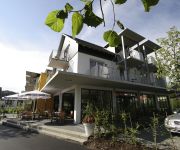
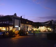
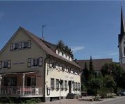
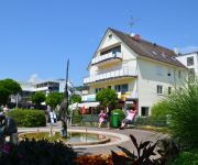
Hotels and Places to Stay
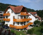
Immengarten Bodenseehotel
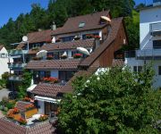
Adler See- & Wellnesshotel
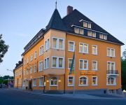
Krone
Zum Hafen
St. Martin Gästehaus
Regenscheit Pension
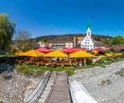
Krone am See Hotel Restaurant Café Biergarten
Zum Goldenen Ochsen Ringhotel
Traube Gasthaus
Bären Landhotel
Videos from this area
These are videos related to the place based on their proximity to this place.
TEST Zenmuse H3-3D Hexacopter Tarot 680 Sunset Sipplingen Bodensee
der Film wurde nur in der Geschwindigkeit verändert. Die Farben sind Original GoPro 4. Dezember 2014 Hexacopter Tarot 690 Gimbal Zenmuse.
Anlieferung des MTU-Stromaggregats auf den Sipplinger Berg
17.03.2015 Sipplingen – Per Schwertransport und Autokran hat der Zweckverband Bodensee-Wasserversorgung heute ein neues Notstromaggregat von MTU Onsite Energy erhalten. Das Aggregat ...
Oldtimer-Treffen Ludwigshafen/Bodman 2012
Der MSC Sernatingen veranstaltet wohl das schönste Oldtimer-Treffen der Region mit besonderem Flair direkt an der Uferpromenade in Ludwigshafen/Bodman. Absolut Sehenswert !!
Traktor Museum Bodensee Austellung Herbst 2014
Seit März 2013 ist in Gebhardsweiler das neue Traktormuseum geöffnet. Auf mehr als 10.000 Quadratmetern erstreckt sich eine Erlebniswelt für die ganze Familie. Mit über 150 Traktoren aus...
Bodensee Trinkwasserversorgung
Die BWK-Bezirksgruppe Darmstadt besichtigte im Rahmen der Exkursion 2000 das Wasserwerk der Bodensee-Trinkwasserversorgung in Sipplingen. Der Zweckverband Bodensee ...
Bodensee HDR
Ein pseudo HDR Zeitraffervideo vom Bodensee. Aufgenommen am 28.08.2011 beim Haldenhof über Sipplingen mit meiner Sony Alpha 230 und dem Minolta 50mm f/1,7. Für das Tonemapping wurde ...
Wasser für Millionen
Historischer Film über die Bodensee-Wasserversorgung aus der Zeit der Anlagenerweiterung und des Baus der zweiten Hauptleitung mit dem Albstollen. Fertigstellung 1971.
Bodenseeumrundung - Bodenseequerung: Kirsten Seidel, Bodman am Bodensee, 18.08.2012
Bodenseeumrundung - Bodenseequerung: Kirsten Seidel, Bodman am Bodensee, 18.08.2012 Fotos und Video by seechat.de | Die Bodensee Community.
Videos provided by Youtube are under the copyright of their owners.
Attractions and noteworthy things
Distances are based on the centre of the city/town and sightseeing location. This list contains brief abstracts about monuments, holiday activities, national parcs, museums, organisations and more from the area as well as interesting facts about the region itself. Where available, you'll find the corresponding homepage. Otherwise the related wikipedia article.
Ablach (Danube)
The Ablach is a right tributary of the Danube. It rises on the European Watershed, which is only a hint in this area, from the Mindersdorfer Aach in the municipality of Hohenfels in the Landkreis of Konstanz. It is about 36 kilometers long, or, when including the headwaters in the Hohenfels area, 38 km.


